
-
Plovers, prairie dogs, and fire: Managing semi-arid rangelands for wildlife and livestock
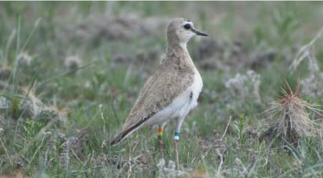
New synthesis from the Great Plains Fire Science Exchange on Mountain plover and prescribed fire research. Introduction: The mountain plover (Charadrius montanus) is a bird species with very specific habitat needs when it breeds in the shortgrass and mixed grass regions of the western Great Plains. Plovers are a ground-nesting bird with cryptic coloring that…
-
Quantitative Wildfire Risk Assessment (QWRA)
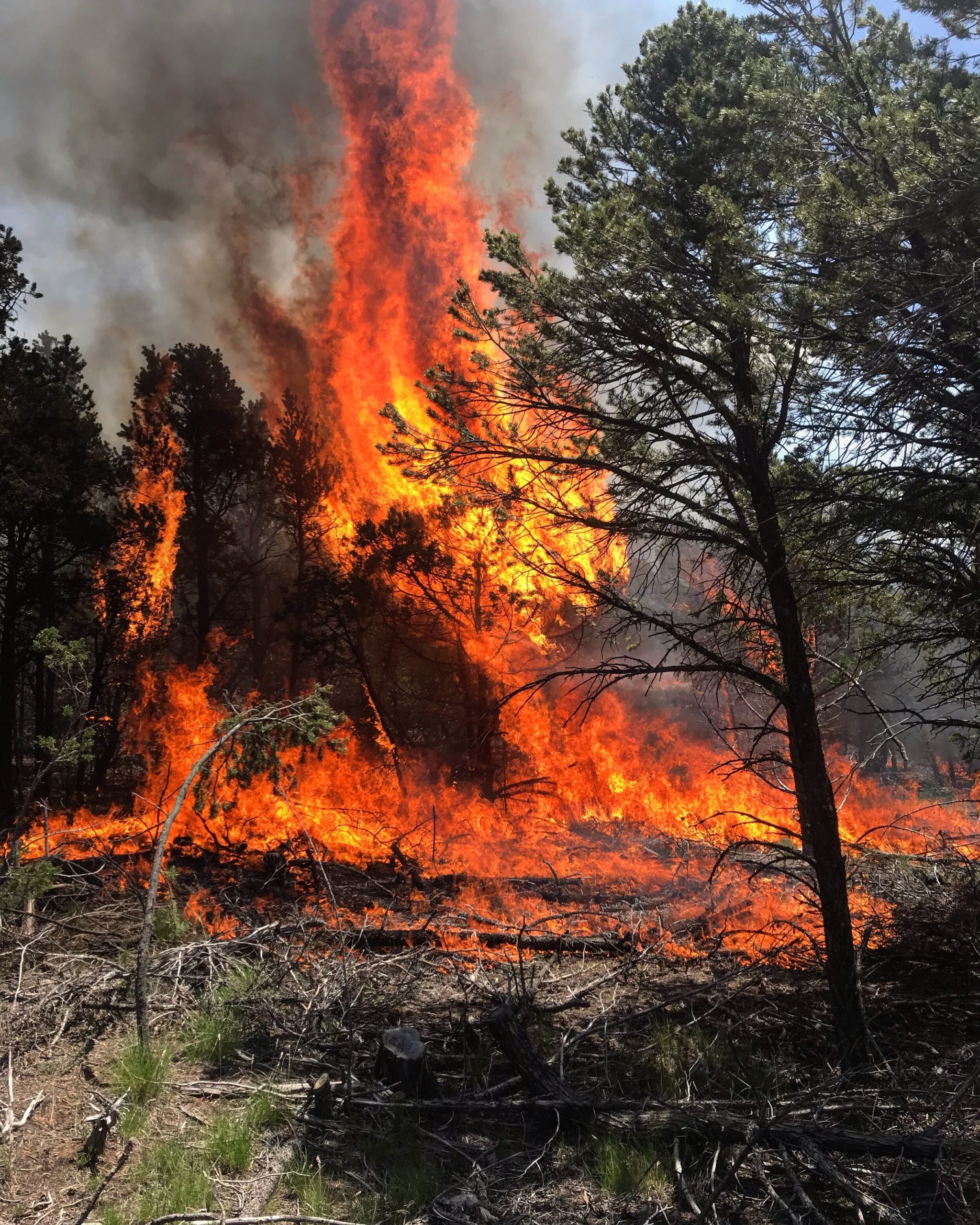
A workflow and tools to perform a Quantitative Wildfire Risk Assessment (QWRA) from the project to the unit scale is now available in IFTDSS. QWRA: https://iftdss.firenet.gov/firenetHelp/help/pageHelp/content/30-tasks/qwra/qwraabout.htm QWRA Webinar: https://www.youtube.com/watch?v=1FsCk34cjec&feature=youtu.be Additioanal Resources from IFTDSS: https://iftdss.firenet.gov/landing_page/ Photo by Tyler Gilbert, The Ember Alliance. CopperHill Prescribed Fire. New Mexico, 2019. The Ember Alliance acknowledges this image was taken…
-
Real Earth Interface

RealEarth is a data discovery and visualization platform developed at SSEC/CIMSS at the University of Wisconsin-Madison. Web Interface: https://bit.ly/2D5jYag Data Visualizer: http://re.ssec.wisc.edu/doc/
-
WFEIS: Wildland Fire Emissions Information System
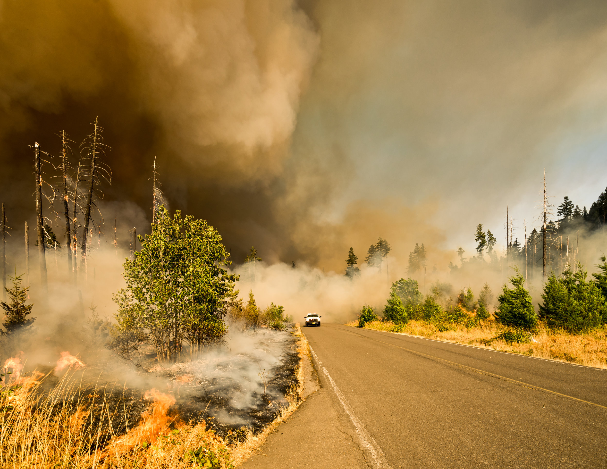
WFEIS is a web-based tool that provides users a simple interface for calculating wildland fire emissions across the US and Canada (beta). WFEIS integrates geospatial burned area, fuel moisture, and fuel loading data layers with the US Forest Service’s Consume model to calculate emissions for user-specified locations and date ranges. WFEIS is built entirely from open-source software components. Data can be requested and…
-
Drying rates of masticated fuelbeds
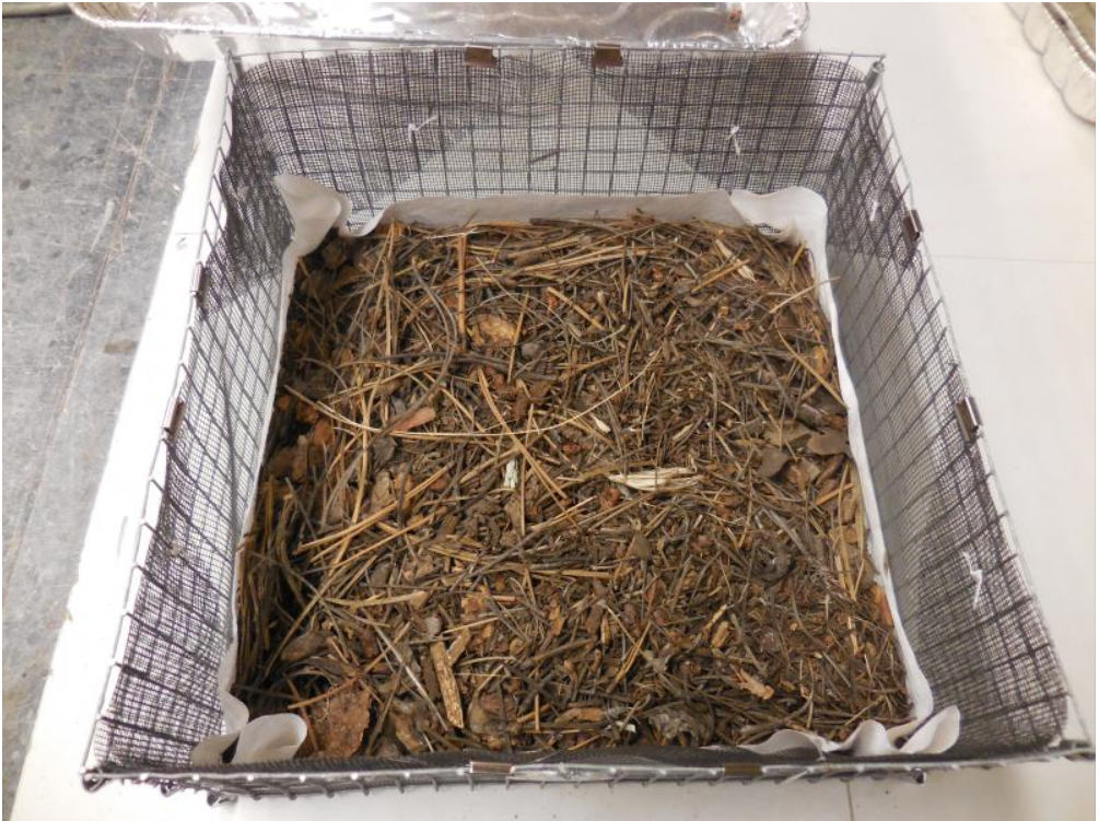
Science spotlight from the Rocky Mountain Research Station about the drying rates of masticated fuelbeds. View here: https://research.fs.usda.gov/treesearch/60657 Thumbnail photo by Pam Sikkink.
-
Fire and Smoke Map
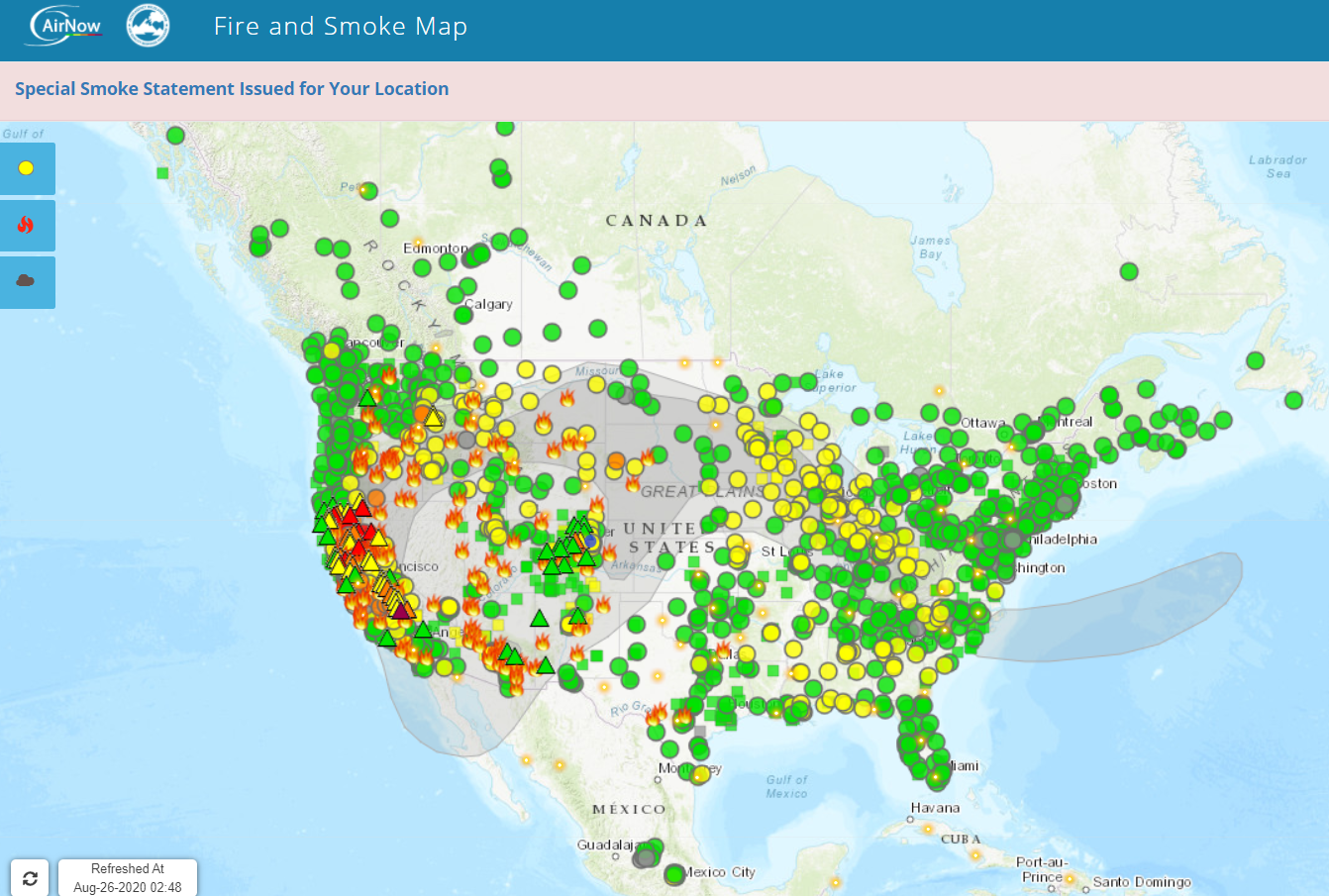
The Fire and Smoke Map displays information on ground level air quality monitors recording fine particulates (PM2.5) from smoke and other sources, as well as information on fires, smoke plume locations, and special statements about smoke issued by various sources. This map is a collaborative effort between the U.S. Forest Service led Interagency Wildland Fire…
-
Mapping Fuels for Regional Smoke Management and Emissions Inventories Final Report

View the full report here Abstract: Fuels are highly variable and dynamic in space and time, and fuel loading can vary considerably even within fine spatial scales and within specific fuel types, such as downed wood or organic soils. Given this inherent variability in fuel loadings, it is not good practice to represent all instances…
-
North American Wildland Fuels Database

NAWFD aggregates fuel loading information from 26,620 field sites compiled from 271 data sources. Each data point is assigned to an EVT Group fuelbed. Probability distributions are generated for each fuel stratum within each fuelbed. Prichard, S. J., Kennedy, M. C., Andreu, A. G., Eagle, P. C., French, N. H., & Billmire, M. (2019). Next‐generation biomass mapping for regional emissions and carbon…
-
The effects of prescribed fire on wildfire regimes and impacts: A framework for comparison; Tamm Review

Abstract: Prescribed fire can result in significant benefits to ecosystems and society. Examples include improved wildlife habitat, enhanced biodiversity, reduced threat of destructive wildfire, and enhanced ecosystem resilience. Prescribed fire can also come with costs, such as reduced air quality and impacts to fire sensitive species. To plan for appropriate use of prescribed fire, managers…
-
Epidemic model shows how COVID-19 could spread through firefighting camps
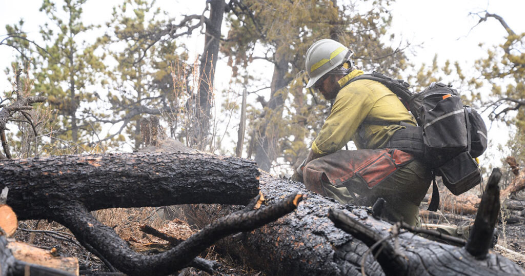
With a busy fire season already upon us, researchers at Colorado State University (CSU) looked into the potential for a massive outbreak of COVID-19 at a large fire camp. A large fire camp has a high potential for disaster among the transient, high-density workforce which comprises these camps. The team from CSU “developed an epidemiological…
Categories
- Article/Book/Chapter
- Course/Curriculum
- Education & Training
- Highlights
- Maps, Models, and Apps
- Newsletter/Digest
- Pre and Post Emergency Resources
- Publication
- Research Brief/Synthesis
- Technical Report
- Uncategorized
- Video
- Video & Audio Resources
- Webinar
- Website
Archive
- August 2026
- July 2026
- May 2026
- April 2026
- March 2026
- February 2026
- January 2026
- December 2025
- November 2025
- October 2025
- September 2025
- August 2025
- July 2025
- May 2025
- April 2025
- March 2025
- February 2025
- January 2025
- November 2023
- October 2023
- September 2023
- May 2023
- April 2022
- March 2022
- February 2022
- January 2022
- October 2021
- August 2021
- July 2021
- May 2021
- March 2021
- February 2021
- January 2021
- December 2020
- November 2020
- October 2020
- September 2020
- August 2020
- July 2020
- June 2020
- May 2020
- April 2020
- March 2020
- July 2019
- July 2018
- June 2018
- October 2017
- September 2017
- June 2017
- April 2017
- March 2017
- November 2016
- October 2016
- August 2016
- May 2016
- April 2016
- November 2015
- October 2015
- September 2015
- June 2015