• Skip to primary navigation
  • Skip to main content
Southern Rockies Fire Science Network

Southern Rockies Fire Science Network

JFSP Fire Science Exchange Network

  • Home
  • About
    • About Us
    • Our Partners
  • Subregions
    • Why Subregions?
    • Black Hills
    • Wyoming Sagebrush
    • Uinta Basin
    • Wasatch Plateaus/Mountains
    • Rocky Mountains
    • Canyonlands/Desert Montane
  • Events
    • Event Summaries
  • Resources
    • Pre and Post-Fire Emergency Resources
    • Research & Publications
    • Maps, Models & Apps
    • COVID-19
  • Contact
  • Show Search
Hide Search

Quantitative Wildfire Risk Assessment (QWRA)

A workflow and tools to perform a Quantitative Wildfire Risk Assessment (QWRA) from the project to the unit scale is now available in IFTDSS.

QWRA: https://iftdss.firenet.gov/landing_page/pdfs/qwra_release_flyer_july2020.pdf

QWRA Webinar: https://www.youtube.com/watch?v=1FsCk34cjec&feature=youtu.be

Additioanal Resources from IFTDSS: https://iftdss.firenet.gov/landing_page/

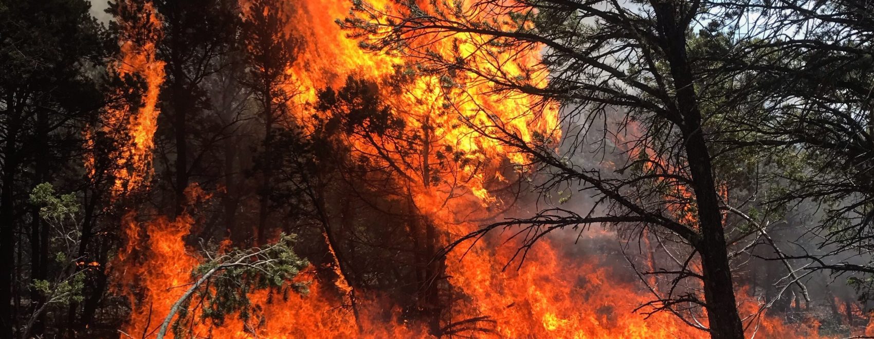
Photo by Tyler Gilbert, The Ember Alliance. CopperHill Prescribed Fire. New Mexico, 2019. The Ember Alliance acknowledges this image was taken on culturally significant land to the Jicarilla Apache, Núu-agha-tʉvʉ-pʉ̱, and Pueblos peoples.

Posted by:
Gloria Edwards
Published on:
August 26, 2020

Categories: Maps, Models, and Apps, Research Brief/SynthesisTags: Model/Tool/Technology, pre-fire risk assessment, risk, values at risk, wildfire risk, wildfire risk assessment, wildfire risk mitigation, wildfire risk reduction, Wildland, Wildland Fire, wildland fire smoke, Wildland Firefighting, wildland urban interface

Footer

Connect With Us

  • Facebook
  • Twitter
  • YouTube

Sign up for our newsletter

Got a Question?
Email us.

This regional Fire Exchange is one of 15 regional fire science exchanges sponsored by the Joint Fire Science Program (JFSP).
View resources from multiple exchanges.