

"Wildland fires are significant sources of organic compounds, but traditional global fire emission inventories only include …

Quantifying danger: New data on wildland firefighter injuries
"When wildland firefighters head into the field, they know the work is dangerous; but until now, agencies lacked detailed data on …
Continue Reading about Quantifying danger: New data on wildland firefighter injuries
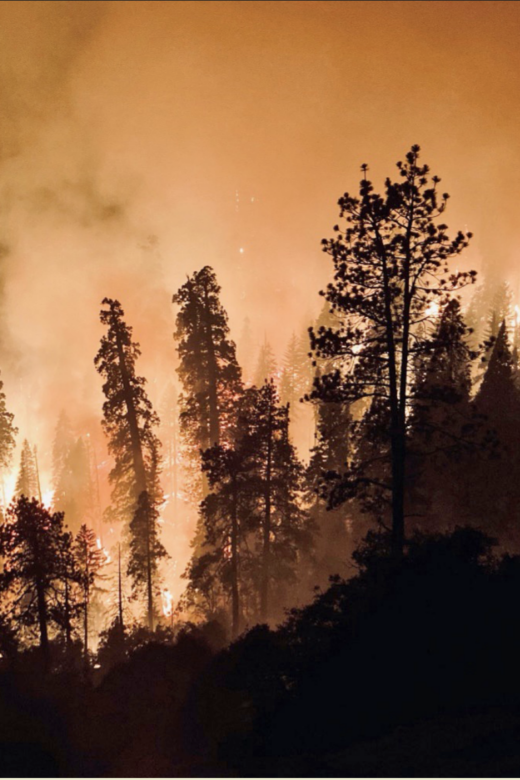
Nighttime fire activity is on the rise in the United States: Posing greater risks to firefighters and communities
Science You Can Use: "Firefighting crews count on a dampening of fire activity at night, thanks to a temperature drop and …
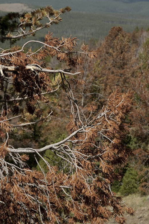
Up To 35% Of Wyoming’s High Country Is Dead ‘Ghost Forest’ — And It’s Spreading
"It’s estimated 25% to 35% of Wyoming’s forests are now dominated by “ghost forests” — standing dead timber from beetle epidemics …
Uncrewed aerial system imagery and collocated validation field plots from assessment of forest spatial pattern in Black Hills South Dakota, USA restoration treatments
"This data publication includes uncrewed aerial system (UAS) imagery collected in 2023 to characterize the forest spatial pattern …
Smoothed raster of wildfire transmission to buildings in the continental United States and Hawaii (4th Edition)
"This data publication includes three geodatabase rasters that represent spatial assessments across the conterminous United …
Interactions of 2021 Schneider Springs burned area, containment lines, PODs, and suppression success
"In August of 2021 the Schnieder Springs fire ignited on the Okanogan-Wenatchee National Forest in Washington, where it burned …
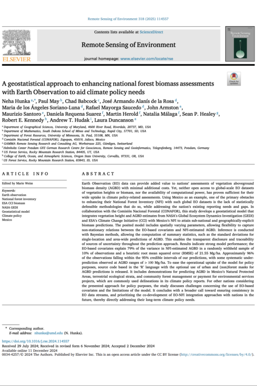
A geostatistical approach to enhancing national forest biomass assessments with Earth Observation to aid climate policy needs
"In collaboration with the Comisión Nacional Forestal (CONAFOR), this study develops a geostatistical model that integrates …