• Skip to primary navigation
  • Skip to main content
Southern Rockies Fire Science Network

Southern Rockies Fire Science Network

JFSP Fire Science Exchange Network

  • Home
  • About
    • About Us
    • Our Partners
  • Subregions
    • Why Subregions?
    • Black Hills
    • Wyoming Sagebrush
    • Uinta Basin
    • Wasatch Plateaus/Mountains
    • Rocky Mountains
    • Canyonlands/Desert Montane
  • Events
    • Event Summaries
  • Resources
    • Pre and Post-Fire Emergency Resources
    • Research & Publications
    • Maps, Models & Apps
    • COVID-19
  • Contact
  • Show Search
Hide Search

WFEIS: Wildland Fire Emissions Information System

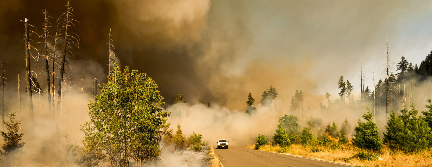
WFEIS is a web-based tool that provides users a simple interface for calculating wildland fire emissions across the US and Canada (beta). WFEIS integrates geospatial burned area, fuel moisture, and fuel loading data layers with the US Forest Service’s Consume model to calculate emissions for user-specified locations and date ranges.

WFEIS is built entirely from open-source software components. Data can be requested and delivered in multiple spatial and non-spatial formats including JSON, CSV, and ESRI Shapefiles.

Get started here: https://wfeis.mtri.org/

Posted by:
Gloria Edwards
Published on:
August 26, 2020

Categories: Maps, Models, and AppsTags: fire fuel smoke, fuel consumption, fuel data, fuel loading, fuel treatments, fuels, fuels emission, fuels management, Fuels reduction, fuels treatments, geospatial data, wildland fire emissions

Footer

Connect With Us

  • Facebook
  • Twitter
  • YouTube

Sign up for our newsletter

Got a Question?
Email us.

This regional Fire Exchange is one of 15 regional fire science exchanges sponsored by the Joint Fire Science Program (JFSP).
View resources from multiple exchanges.