
-
Up To 35% Of Wyoming’s High Country Is Dead ‘Ghost Forest’ — And It’s Spreading
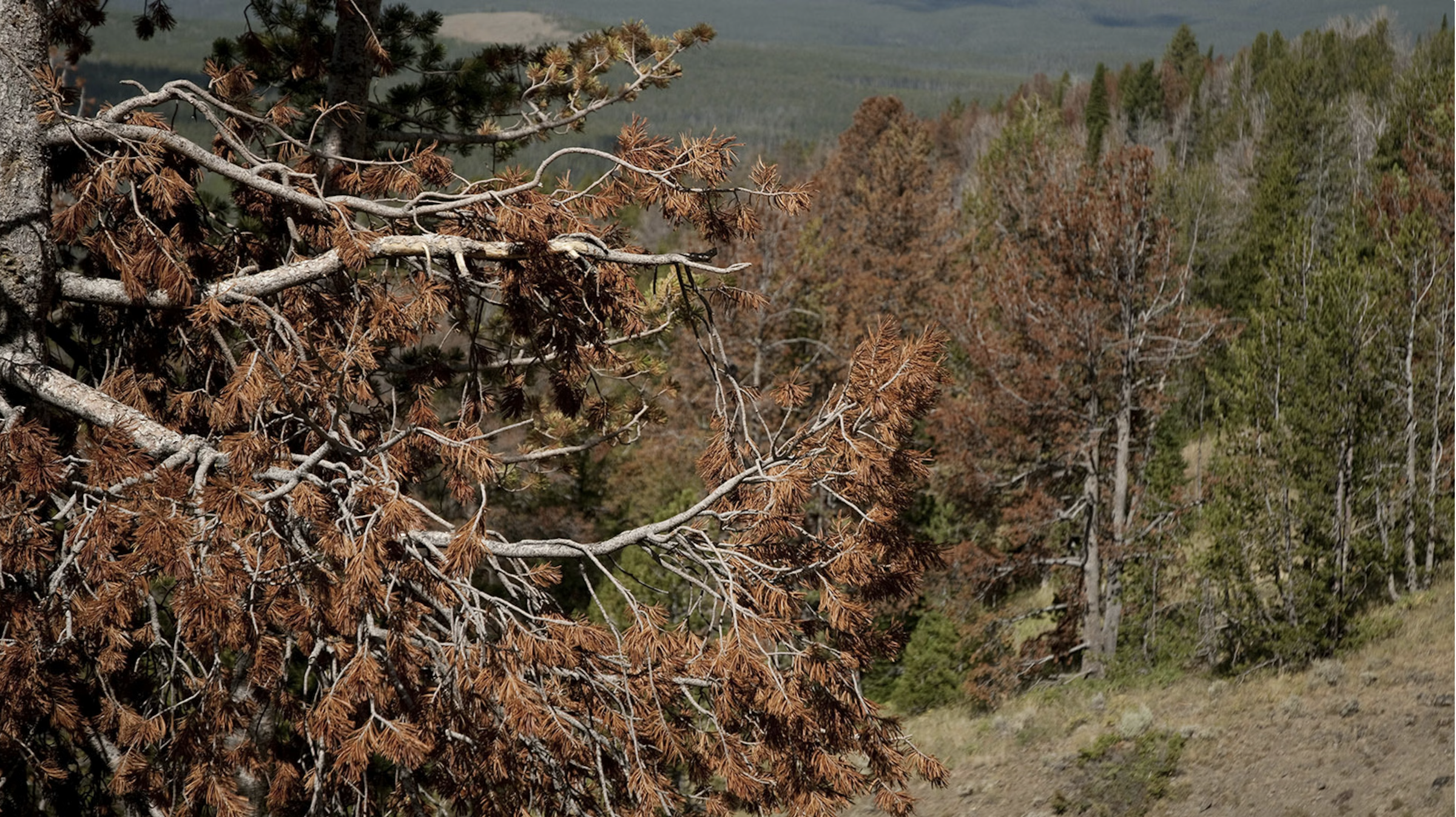
“It’s estimated 25% to 35% of Wyoming’s forests are now dominated by “ghost forests” — standing dead timber from beetle epidemics and disease. Researchers say it’s time to start paying attention to limber pine before it follows the whitebark into crisis.” Read HERE Up to 35% of wyoming’s high country is dead ‘ghost forest’—And it’s…
-
Uncrewed aerial system imagery and collocated validation field plots from assessment of forest spatial pattern in Black Hills South Dakota, USA restoration treatments
“This data publication includes uncrewed aerial system (UAS) imagery collected in 2023 to characterize the forest spatial pattern following five unique silvicultural prescriptions implemented in the Black Hills Experimental Forest in South Dakota.” Get info HERE
-
Smoothed raster of wildfire transmission to buildings in the continental United States and Hawaii (4th Edition)
“This data publication includes three geodatabase rasters that represent spatial assessments across the conterminous United States, Alaska, and Hawaii of the potential for wildfires to ignite, spread, and expose buildings. The rasters provide smoothed estimates of annual building exposure from wildfire. They were created by intersecting simulated wildfire perimeters with building location data over 10,000…
-
Interactions of 2021 Schneider Springs burned area, containment lines, PODs, and suppression success
“In August of 2021 the Schnieder Springs fire ignited on the Okanogan-Wenatchee National Forest in Washington, where it burned through 113,689 acres of rugged terrain with a number of factors affecting fire behavior and eventual containment. For areas where the fire burned, observational data were developed using a rasterization approach at a 30-meter resolution consistent…
-
A geostatistical approach to enhancing national forest biomass assessments with Earth Observation to aid climate policy needs

“In collaboration with the Comisión Nacional Forestal (CONAFOR), this study develops a geostatistical model that integrates vegetation height and AGBD estimates from NASA’s Global Ecosystem Dynamics Investigation (GEDI) and ESA’s Climate Change Initiative (CCI) with Mexico’s NFI to attain sub-national and geographically-explicit biomass predictions. The posited model includes spatially varying parameters, allowing flexibility to capture…
-
2025 Colorado Forest Collaboratives Summit: Summary & Resources

“In early 2025, when organizations were facing change and uncertainty about policy and funding, the CFCN Advisory Council met to discuss intentions for the 2025 CO Forest Collaborative Summit. The question was earnestly asked, “with so much uncertainty, should CFCN even host a Summit this year?” From thoughtful discussion, the answer became clear – yes, now, more…
-
Birds of a Feather Benefit from Fire Together: How prescribed burning can benefit ground-nesting birds
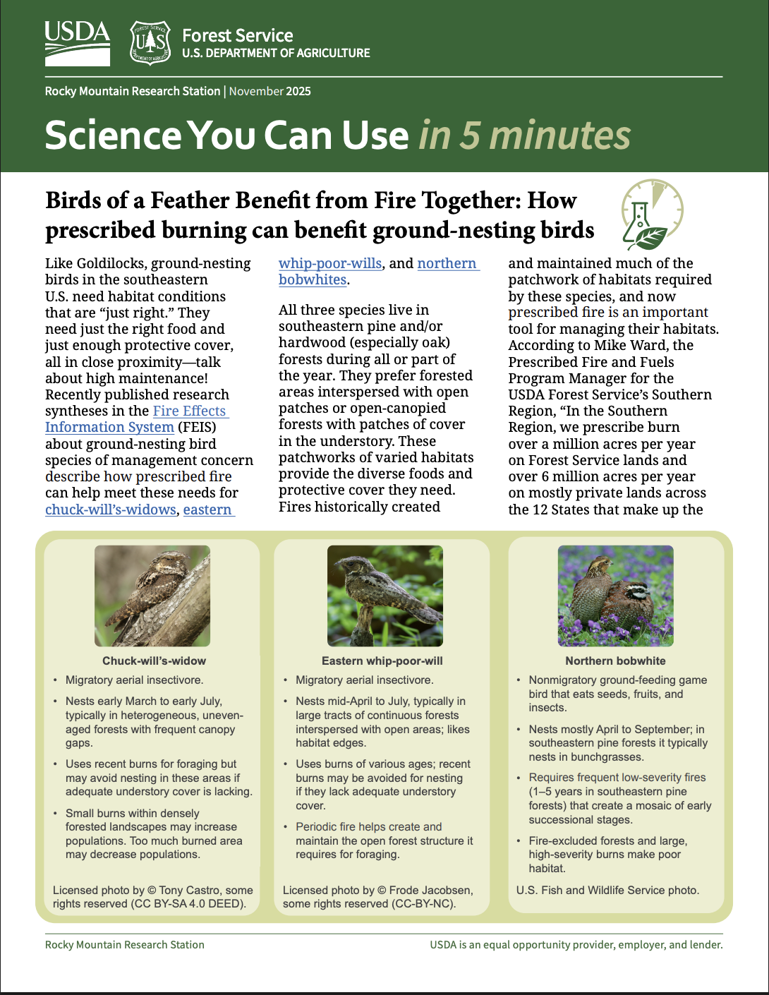
Science You Can Use in 5 minutes Rocky Mountain Research Station | November 2025 Read HERE
-
Estimating Wildfire Rate of Spread in Grasslands

Marty Alexander, PhD, RPFProprietor, Wild Rose Fire Behaviour, Leduc County, AB Read HERE
-
Give seeds a chance? Opportunities and techniques for post‐fire reforestation using tree seeding
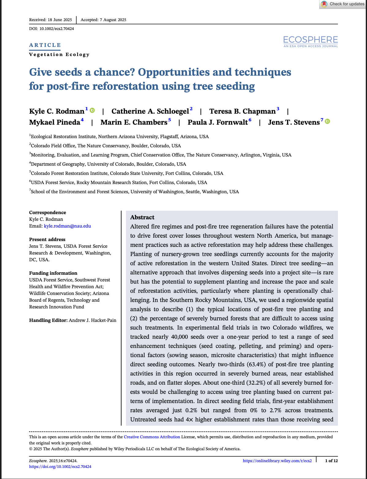
“Altered fire regimes and post-fire tree regeneration failures have the potential to drive forest cover losses throughout western North America, but management practices such as active reforestation may help address these challenges. Planting of nursery-grown tree seedlings currently accounts for the majority of active reforestation in the western United States. Direct tree seeding—an alternative approach…
-
Understanding household experiences with flooding in post-fire environments: risk perceptions, perceived drivers, and mitigation actions
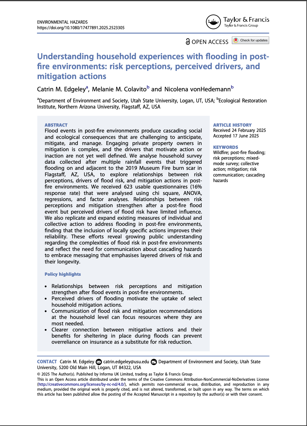
“We analyse household survey data collected after multiple rainfall events that triggered flooding on and adjacent to the 2019 Museum Fire burn scar in Flagstaff, AZ, USA, to explore relationships between risk perceptions, drivers of flood risk, and mitigation actions in post- fire environments. We received 623 usable questionnaires (16% response rate) that were analysed…
Categories
- Article/Book/Chapter
- Course/Curriculum
- Education & Training
- Highlights
- Maps, Models, and Apps
- Newsletter/Digest
- Pre and Post Emergency Resources
- Publication
- Research Brief/Synthesis
- Technical Report
- Uncategorized
- Video
- Video & Audio Resources
- Webinar
- Website
Archive
- August 2026
- July 2026
- May 2026
- April 2026
- March 2026
- February 2026
- January 2026
- December 2025
- November 2025
- October 2025
- September 2025
- August 2025
- July 2025
- May 2025
- April 2025
- March 2025
- February 2025
- January 2025
- November 2023
- October 2023
- September 2023
- May 2023
- April 2022
- March 2022
- February 2022
- January 2022
- October 2021
- August 2021
- July 2021
- May 2021
- March 2021
- February 2021
- January 2021
- December 2020
- November 2020
- October 2020
- September 2020
- August 2020
- July 2020
- June 2020
- May 2020
- April 2020
- March 2020
- July 2019
- July 2018
- June 2018
- October 2017
- September 2017
- June 2017
- April 2017
- March 2017
- November 2016
- October 2016
- August 2016
- May 2016
- April 2016
- November 2015
- October 2015
- September 2015
- June 2015