
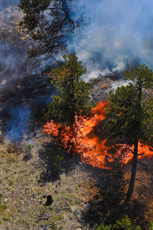
New story map releasing results of a case study about the 2002 Missionary Ridge Fire near Durango, CO. A part of a collection of …
Webinar Synopsis: Post-Fire Planning “By the Book”: Strategies For Landscape and Social Response
This managerial brief summarizes an October 14th webinar hosted by Fire Adapted Colorado and the Southern Rockies Fire Science …
Webinar: Ecological Effects of Multiple Disturbances on Subalpine Forest Structure and Recovery in a Changing Climate
On November 6th, 2020 SRFSN hosted a public webinar containing the graduate masters thesis presentation of Zoe Schapira, graduate …
Post-Fire Planning “By The Book”: Strategies for Landscape and Social Response pt. 2
On October 14th, 2020 Fire Adapted Colorado and the Southern Rockies Fire Science Network hosted a webinar with guest speakers …
Post-Fire Planning “By the Book”: Strategies for Landscape and Social Response
On October 14th, 2020 Fire Adapted Colorado and the Southern Rockies Fire Science Network hosted a webinar with guest speakers …
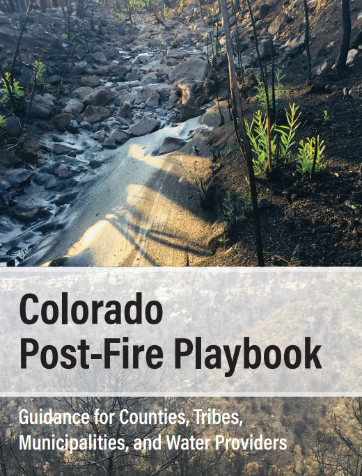
After the Fire Toolkit
Science You Can Use BulletinMain “After the Fire Toolkit” WebsiteAbstract: Wildfires are an important natural disturbance in …
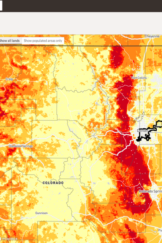
A New Community-Based Tool to Assess Wildfire Risk
Full Document HereBrief synopsis about the Wildfire Risk to Communities interactive tool from the RMRS. Management Implications: …
Continue Reading about A New Community-Based Tool to Assess Wildfire Risk
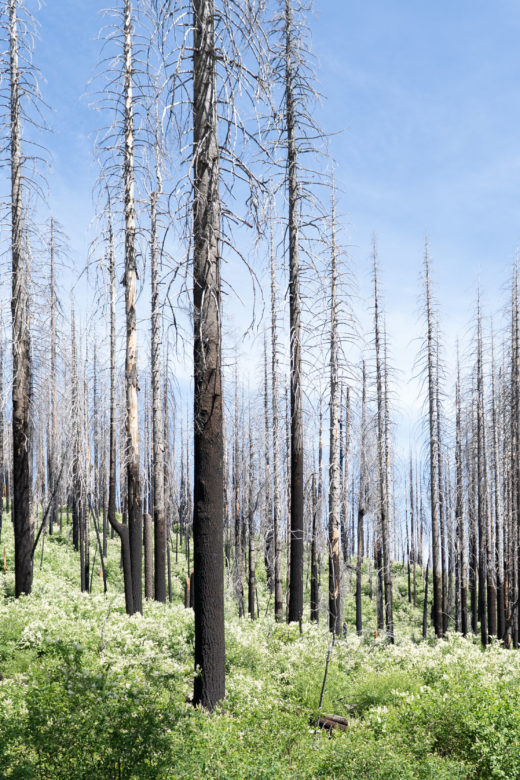
Research Brief: Wildfire-driven conversion in Western North American forests
Research Brief Full Publication Here Management Implications: In an era of change, a "resist, accept, and direct" (RAD) …
Continue Reading about Research Brief: Wildfire-driven conversion in Western North American forests