• Skip to primary navigation
  • Skip to main content
Southern Rockies Fire Science Network

Southern Rockies Fire Science Network

JFSP Fire Science Exchange Network

  • Home
  • About
    • About Us
    • Our Partners
  • Subregions
    • Why Subregions?
    • Black Hills
    • Wyoming Sagebrush
    • Uinta Basin
    • Wasatch Plateaus/Mountains
    • Rocky Mountains
    • Canyonlands/Desert Montane
  • Events
    • Event Summaries
  • Resources
    • Pre and Post-Fire Emergency Resources
    • Research & Publications
    • Maps, Models & Apps
    • COVID-19
  • Contact
  • Show Search
Hide Search

Resilience Analysis and Planning Tool

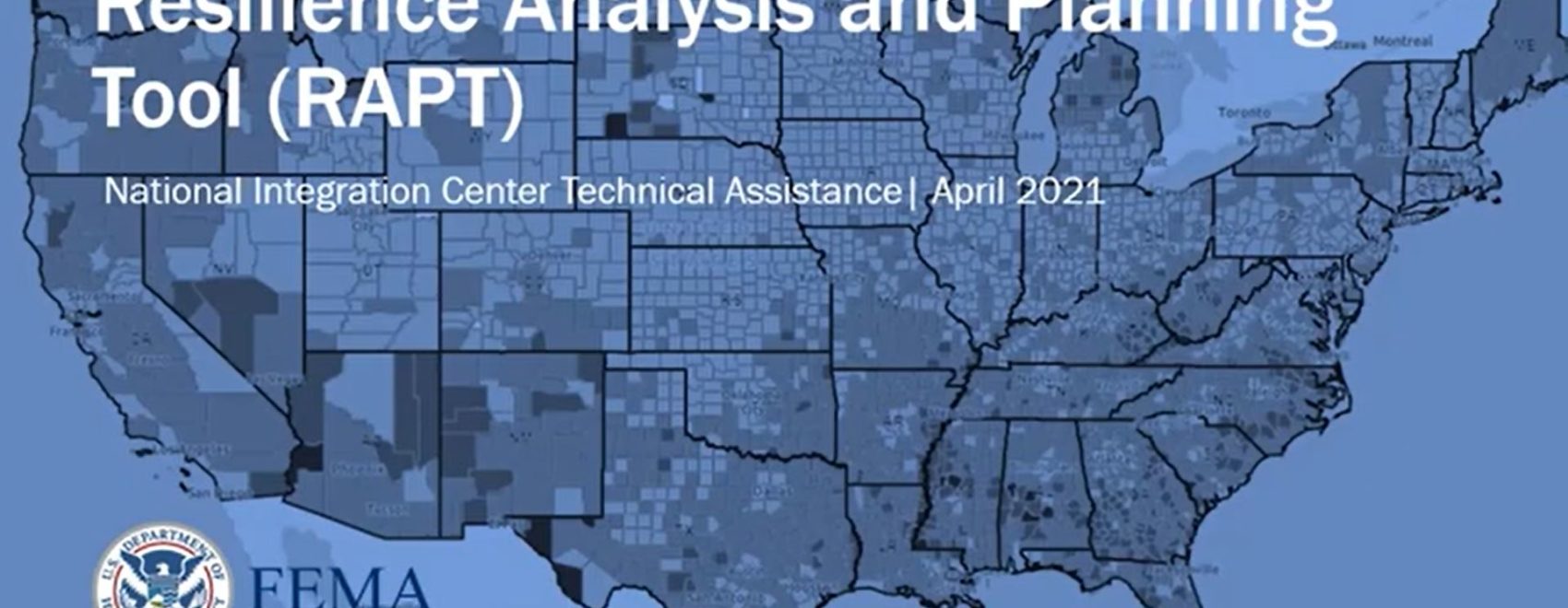
The Resilience Analysis and Planning Tool (RAPT) is a geographic information system webmap tool. The tool allows users to combine layers of community resilience indicators, infrastructure locations and hazard data to visualize, prioritize and implement strategies for planning in community outreach, resilience, response and recovery. Browse census data, county-level estimates of hazard occurrence, real-time weather, and much more.

The Resilience Analysis and Planning Tool is publicly available at FEMA.gov. This website also includes supporting documents on the tool, including a user guide, a summary list of resilience analysis and planning data layers and sources, a summary of community resilience indicators research and video how-to guides to demonstrate.

Posted by:
Gloria Edwards
Published on:
August 9, 2021

Categories: Maps, Models, and Apps, WebsiteTags: community engagement, community involvement, community planning, Community Wildfire Protection Plans, interactive tool, land use planning, Model/Tool/Technology, weather, Wildfire Planning

Footer

Connect With Us

  • Facebook
  • Twitter
  • YouTube

Sign up for our newsletter

Got a Question?
Email us.

This regional Fire Exchange is one of 15 regional fire science exchanges sponsored by the Joint Fire Science Program (JFSP).
View resources from multiple exchanges.