• Skip to primary navigation
  • Skip to main content
Southern Rockies Fire Science Network

Southern Rockies Fire Science Network

JFSP Fire Science Exchange Network

  • Home
  • About
    • About Us
    • Our Partners
  • Subregions
    • Why Subregions?
    • Black Hills / Pine Ridge
    • Canyonlands/Desert Montane
    • Northern New Mexico Plateau
    • Southern Rockies
    • Wasatch Plateaus/Uinta Mountains
    • Wyoming Sagebrush
  • Events
    • Event Summaries
  • Resources
    • Pre and Post-Fire Emergency Resources
    • Research & Publications
    • Maps, Models & Apps
    • COVID-19
  • Contact
  • Show Search
Hide Search

Wasatch Plateaus/Uinta Mountains

Wasatch and Uinta Mountains subregion outline map
Click the map to explore the landscap assesment created by LANDFIRE and the Conservation Data Lab

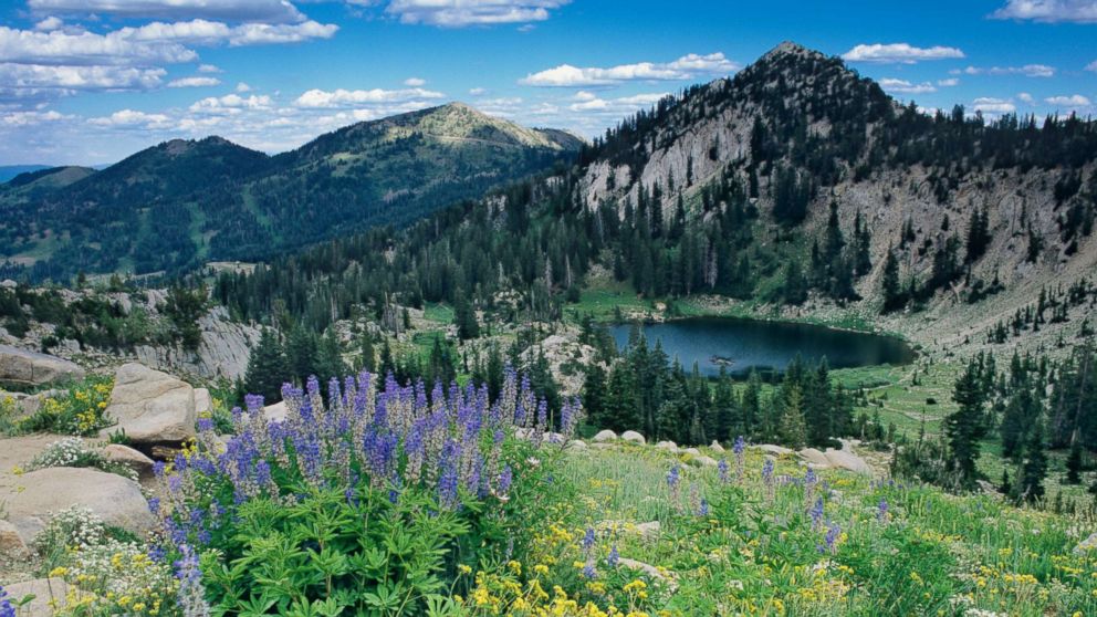
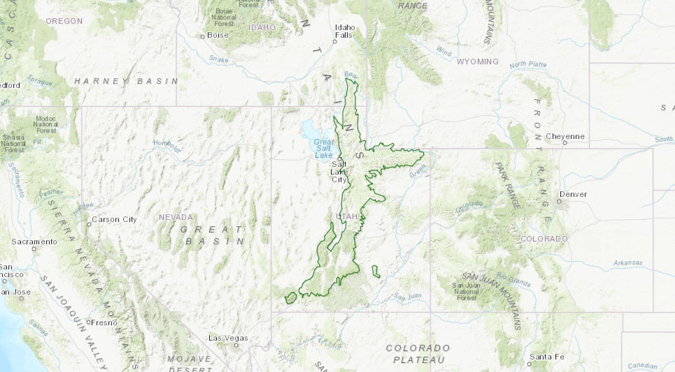
Northeastern and east-central Utah, including the largest population center in Utah known as the Wasatch Front. National forests include Uinta-Wasatch-Cache, Fishlake, and Dixie.


HOT TOPICS:

  • Large wildfires
  • WUI
  • Expanding recreational-residential construction
  • Expansion and intensity of recreation use
  • Human ignitions from target shooting and vehicles
  • Cheatgrass
  • Post-fire vegetation type conversion
  • Aspen decline

Uinta-Wasatch-Cache National Forest is one of the most heavily used in the entire Forest Service system. A large number of homes in and around the forest presents a tremendous WUI challenge in this fire-prone ecosystem.

Resources

How Fire is Fought in Utah

Utah Community Wildfire Preparedness

Utah Division of Forestry Fire and State Lands

Subregion Representative:

Darren McAvoy, Utah State University Forestry Extension

darren.mcavoy@usu.edu

435-797-0560

Footer

Connect With Us

  • Facebook
  • Twitter
  • YouTube

Sign up for our newsletter

Got a Question?
Email us.

This regional Fire Exchange is one of 15 regional fire science exchanges sponsored by the Joint Fire Science Program (JFSP).
View resources from multiple exchanges.