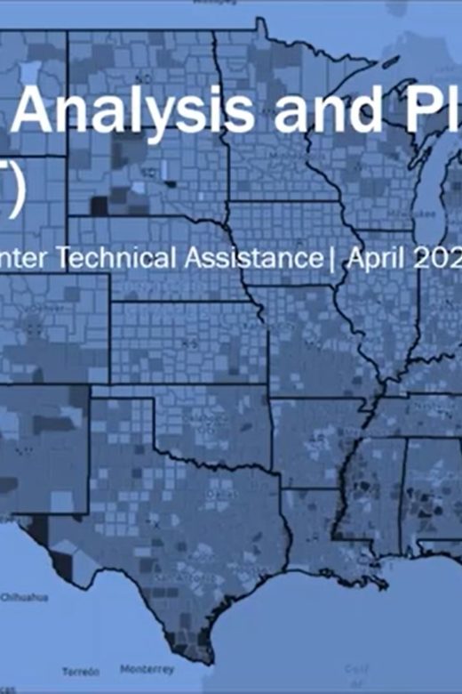
The Resilience Analysis and Planning Tool (RAPT) is a geographic information system webmap tool. The tool allows users to …
Continue Reading about Resilience Analysis and Planning Tool

Southern Rockies Fire Science Network
JFSP Fire Science Exchange Network
The Resilience Analysis and Planning Tool (RAPT) is a geographic information system webmap tool. The tool allows users to …
Continue Reading about Resilience Analysis and Planning Tool
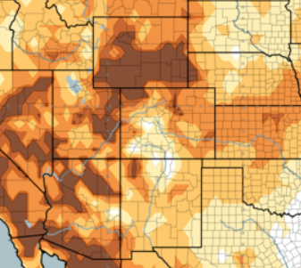
A new tool that maps the Hot-Dry-Windy Index across the U.S. has been published online. This tool is useful for fire managers and …
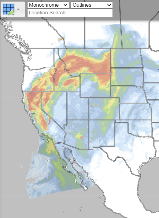
RealEarth is a data discovery and visualization platform developed at SSEC/CIMSS at the University of Wisconsin-Madison.Web …
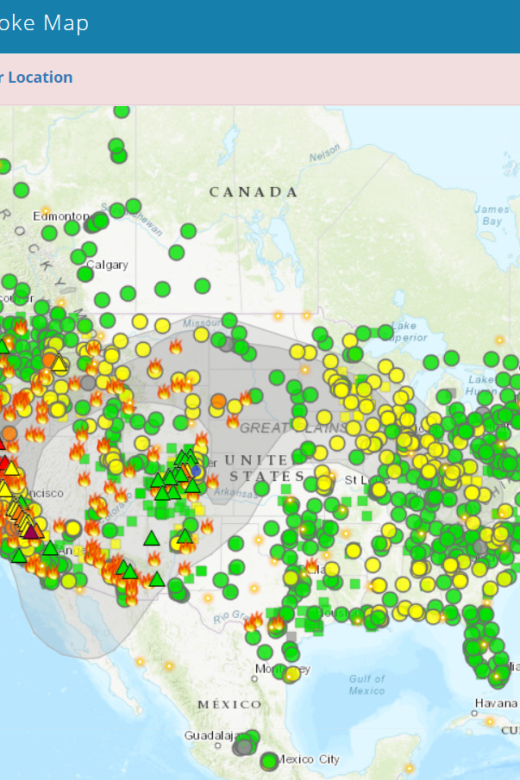
The Fire and Smoke Map displays information on ground level air quality monitors recording fine particulates (PM2.5) from smoke …
Interactive real-time wildfire and forest fire map for Colorado. See current wildfires and wildfire perimeters in Colorado on the …
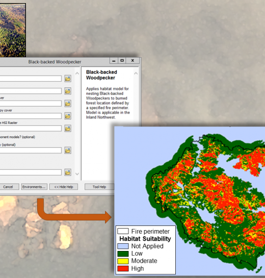
The FIRE-BIRD tool developed by RMRS researchers aims to help managers make better decisions for maintaining key wildlife habitat …
Click the link below for webinars, tools, and a wealth of information from the Moscow Forestry Sciences Laboratory at the Rocky …
The new Wildfire Risk to Communities website—developed by the USDA Forest Service in partnership with Headwaters Economics and …
Continue Reading about Wildfire Risk to Communities interactive tool