• Skip to primary navigation
  • Skip to main content
Southern Rockies Fire Science Network

Southern Rockies Fire Science Network

JFSP Fire Science Exchange Network

  • Home
  • About
    • About Us
    • Our Partners
  • Subregions
    • Why Subregions?
    • Black Hills
    • Wyoming Sagebrush
    • Uinta Basin
    • Wasatch Plateaus/Mountains
    • Rocky Mountains
    • Canyonlands/Desert Montane
  • Events
    • Event Summaries
  • Resources
    • Pre and Post-Fire Emergency Resources
    • Research & Publications
    • Maps, Models & Apps
    • COVID-19
  • Contact
  • Show Search
Hide Search

Potential W.U.I Development – Interactive Map

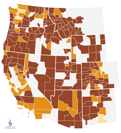
There has been a lot of emphasis and interest in better understanding potential development of values at risk in the wildland-urban interface. This study from Headwaters Economics has been around since 2013, and it is still an excellent resource for understanding potential development. You can select the county table view for Colorado and view W.U.I. development statistics.

Posted by:
Gloria Edwards
Published on:
March 26, 2020

Categories: Education & TrainingTags: all regions, fire-adapted communities and fire response, firefighters, firefighting, Human Dimensions of Fire, mapping, property damage, values at risk, Western U.S., wildfire, Wildfire Operations & Management, wildfire risk reduction, wildland urban interface, WUI

Footer

Connect With Us

  • Facebook
  • Twitter
  • YouTube

Sign up for our newsletter

Got a Question?
Email us.

This regional Fire Exchange is one of 15 regional fire science exchanges sponsored by the Joint Fire Science Program (JFSP).
View resources from multiple exchanges.