
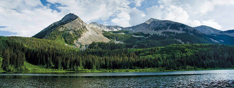
The Southern Rockies include the highest mountain ranges of the Rocky Mountains and includes all 30 of the highest major peaks. In addition to coniferous forests, the ecoregion contains meadows, foothill grasslands, riparian woodlands, and alpine tundra.
HOT TOPICS:
- Expanding WUI
- Climate change
- Insects and disease
- Water supply and watershed health
- Extreme fire behavior
- Aspen decline
- Forest restoration
- Ongoing significant growth within the wildland/urban interface which is changing how fires affect both citizens and firefighters.
Colorado State University researchers predict that by the year 2030, the size of Colorado’s WUI will have increased from 715,500 acres in 2000 to 2,616,400 acres—an increase of 300%—and the number of homes within the Colorado WUI will have increased by 240%.
Resources:
Colorado Forest Restoration Institute
Subregion Representative:
Gloria Edwards
Southern Rockies Fire Science Network Coordinator
Colorado State University
gloria.edwards@colostate.edu – (970) 491-2991