The new Wildfire Risk to Communities website—developed by the USDA Forest Service in partnership with Headwaters Economics and …
Continue Reading about Wildfire Risk to Communities interactive tool

Southern Rockies Fire Science Network
JFSP Fire Science Exchange Network
The new Wildfire Risk to Communities website—developed by the USDA Forest Service in partnership with Headwaters Economics and …
Continue Reading about Wildfire Risk to Communities interactive tool
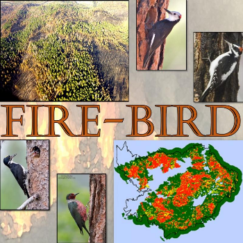
FIRE-BIRD is an ArcGIS spatial tool for applying habitat suitability models to generate maps that inform forest management …
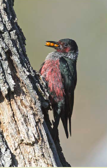
From the Rocky Mountain Research Station: Vicki Saab, a research wildlife biologist with the Rocky Mountain Station, has spent …
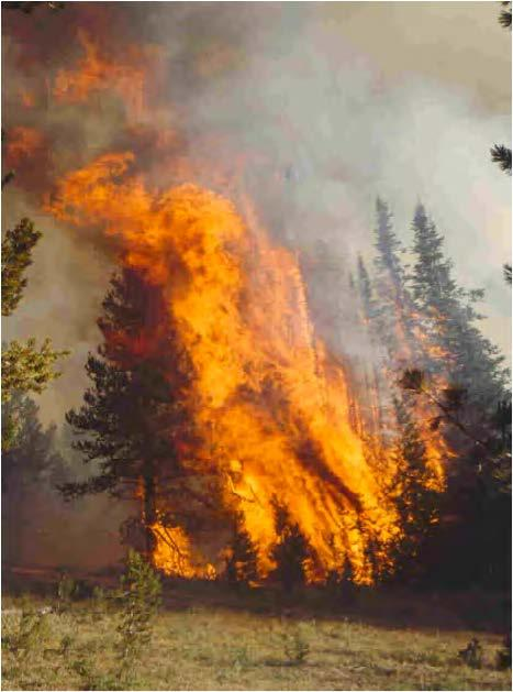
From the Rocky Mountain Research Station: Large, severe fires are ecologically and socially important because they have lasting …
Continue Reading about Seeing red: New tools for mapping and understanding fire severity
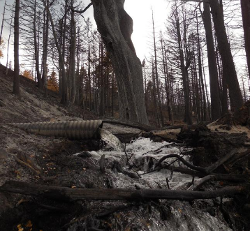
From the Rocky Mountain Research Station: High-intensity wildfires are one of the leading causes of severe soil erosion in western …
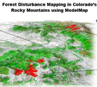
From the Rocky Mountain Research Station: Scientists and statisticians working for the Rocky Mountain Research Station have …
Continue Reading about Painting a picture across the landscape with ModelMap
From the Rocky Mountain Research Station: Matt Reeves, a research economist with the USFS Rocky Mountain Research Station, along …
From the Rocky Mountain Research Station: A new paper by Sean Parks, a research ecologist with the Rocky Mountain Research Station …