
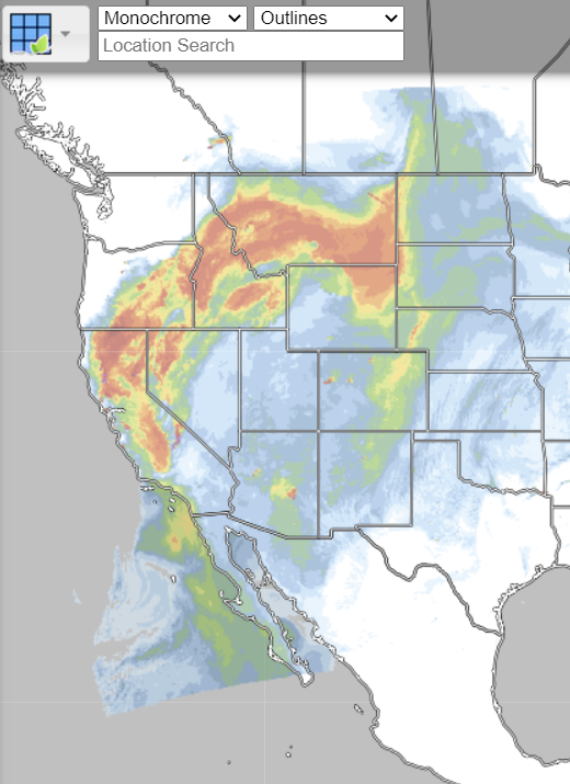
RealEarth is a data discovery and visualization platform developed at SSEC/CIMSS at the University of Wisconsin-Madison.Web …
WFEIS: Wildland Fire Emissions Information System
WFEIS is a web-based tool that provides users a simple interface for calculating wildland fire emissions across the US and Canada …
Continue Reading about WFEIS: Wildland Fire Emissions Information System
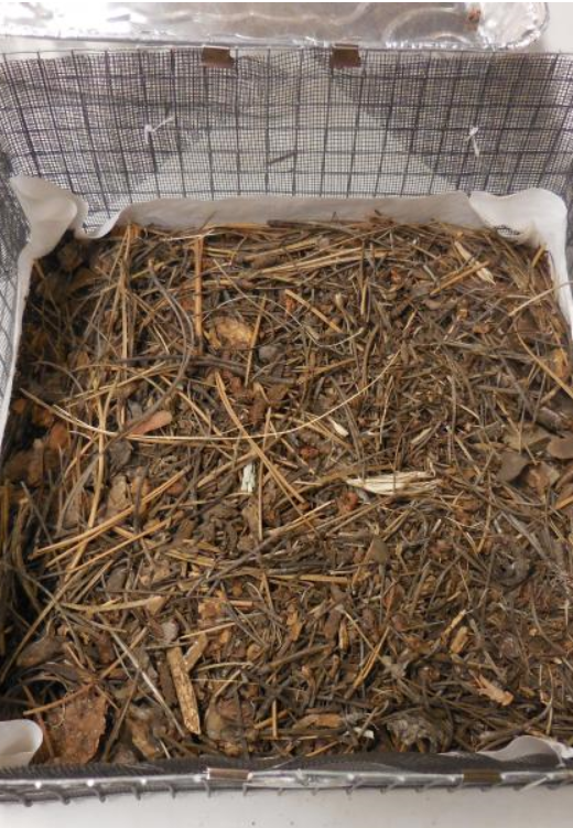
Drying rates of masticated fuelbeds
Science spotlight from the Rocky Mountain Research Station about the drying rates of masticated fuelbeds.View here: …
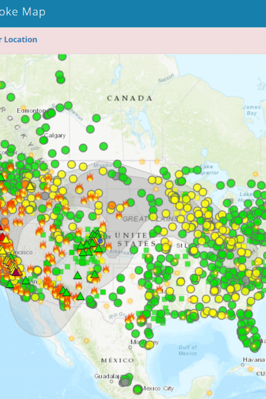
Fire and Smoke Map
The Fire and Smoke Map displays information on ground level air quality monitors recording fine particulates (PM2.5) from smoke …

Mapping Fuels for Regional Smoke Management and Emissions Inventories Final Report
View the full report hereAbstract: Fuels are highly variable and dynamic in space and time, and fuel loading can vary considerably …
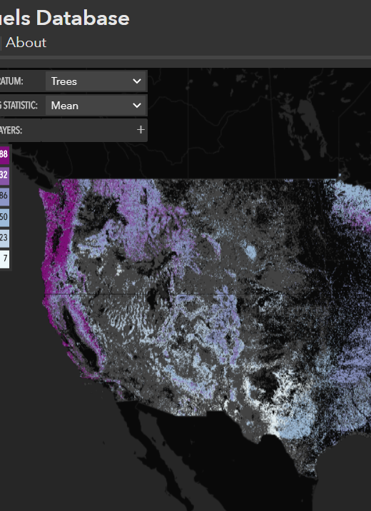
North American Wildland Fuels Database
NAWFD aggregates fuel loading information from 26,620 field sites compiled from 271 data sources. Each data point is assigned …
Continue Reading about North American Wildland Fuels Database
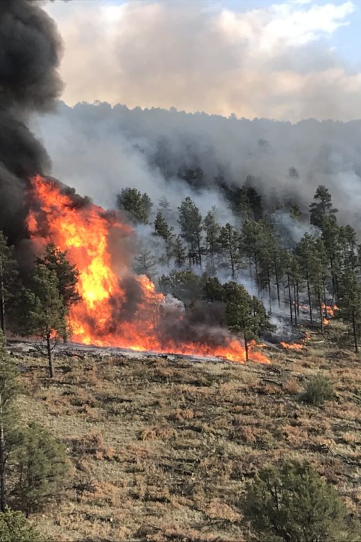
The effects of prescribed fire on wildfire regimes and impacts: A framework for comparison; Tamm Review
Abstract: Prescribed fire can result in significant benefits to ecosystems and society. Examples include improved wildlife …
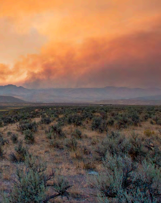
Great Basin Fact Sheet: Information and Tools to Conserve and Restore Great Basin Ecosystems
Overview: Land managers are responsible for developing effective strategies for conserving and restoring Great Basin ecosystems in …