The Science Framework is intended to link the Department of the Interior’s Integrated Rangeland Fire Management Strategy with long-term strategic conservation actions in the sagebrush biome. The Science Framework provides a multiscale approach for prioritizing areas for management and determining effective management strategies within the sagebrush biome. The emphasis is on sagebrush (Artemisia spp.) ecosystems and Greater sage-grouse (Centrocercus urophasianus). The approach provided in the Science Framework links sagebrush ecosystem resilience to disturbance and resistance to nonnative, invasive plant species to species habitat information based on the distribution and abundance of focal species. A geospatial process is presented that overlays information on ecosystem resilience and resistance, species habitats, and predominant threats and that can be used at the mid-scale to prioritize areas for management. A resilience and resistance habitat matrix is provided that can help decisionmakers evaluate risks and determine appropriate management strategies. Prioritized areas and management strategies can be refined by managers and stakeholders at the local scale based on higher resolution data and local knowledge. Decision tools are discussed for determining appropriate management actions for areas that are prioritized for management. Geospatial data, maps, and models are provided through the U.S. Geological Survey (USGS) ScienceBase and Bureau of Land Management (BLM) Landscape Approach Data Portal. The Science Framework is intended to be adaptive and will be updated as additional data become available on other values and species at risk. It is anticipated that the Science Framework will be widely used to: (1) inform emerging strategies to conserve sagebrush ecosystems, sagebrush dependent species, and human uses of the sagebrush system, and (2) assist managers in prioritizing and planning on-the-ground restoration and mitigation actions across the sagebrush biome.
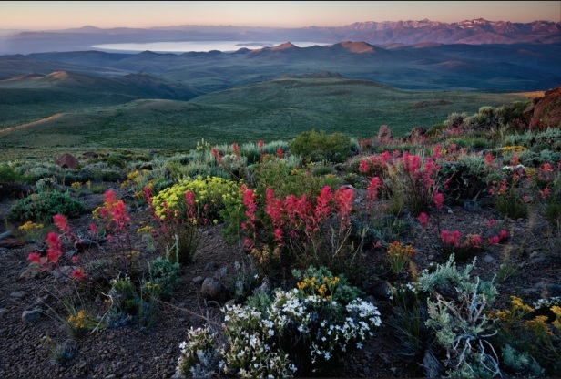
Image Source: USDA

