
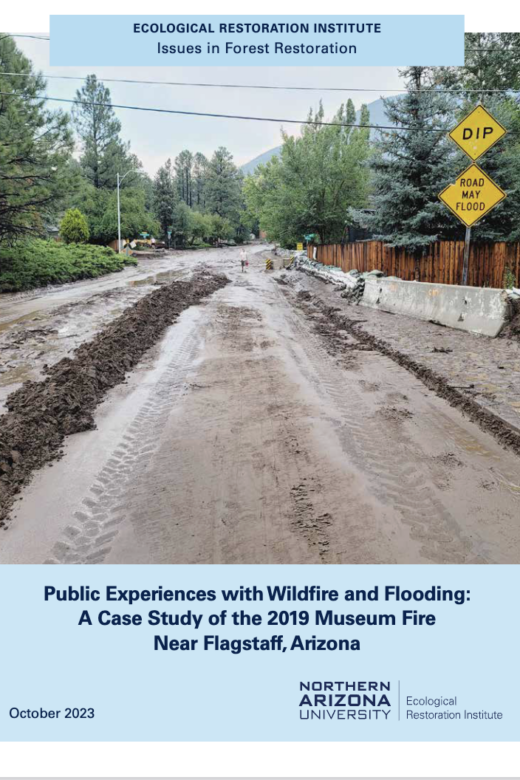
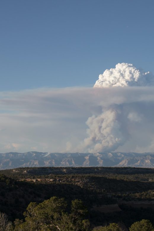
Like many communities across the western United States, the greater Flagstaff area in northern Arizona has experienced multiple …
Rising Wildfire Risk to Houses in the United States, Especially in Grasslands and Shrublands
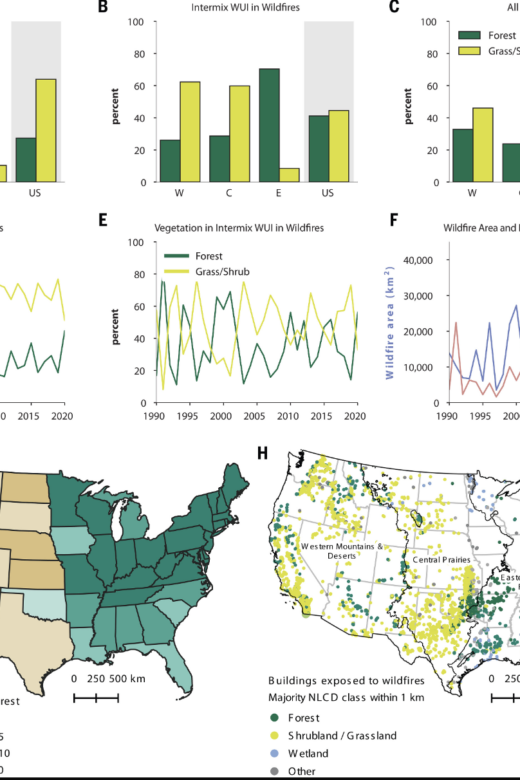
Houses built near wildland vegetation are at greater risk of burning than those farther from the wildland-urban interface, a …
Burn Severity Portal
From the U.S. Forest Service and Department of Interior. The intent of this web portal is to provide a single point of access to …
World of Wildland Fire
Check out this AWESOME Youtube channel “World of Wildland Fire” that has some stellar short, but comprehensive videos about topics …
Prototyping a Geospatial Atlas for Wildfire Planning and Management
by Matthew P. Thompson, Benjamin M. Gannon, Michael D. Caggiano, Christopher D. O’Connor, April Brough, Julie W. Gilbertson-Day …
Continue Reading about Prototyping a Geospatial Atlas for Wildfire Planning and Management
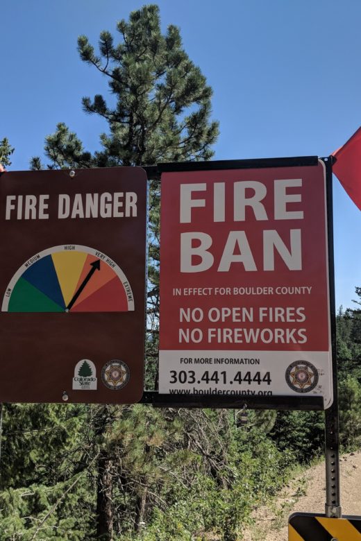
Burn Ban Effectiveness
Do you have direct experience working with, and have thoughts and ideas about how to improve Fire Safety Burn Bans? The Forest …
‘Neighborhoods at Risk’: FREE virtual tool for climate change impacts
Headwaters Economics has developed a free, national tool to evaluate the impacts of climate change on the most vulnerable …
Continue Reading about ‘Neighborhoods at Risk’: FREE virtual tool for climate change impacts
Future Avoided Cost Explorer: Colorado Hazards
In this story map, one can explore economic impacts of flood, drought, and wildfire in 2050. What are the effects of climate …
Continue Reading about Future Avoided Cost Explorer: Colorado Hazards