• Skip to primary navigation
  • Skip to main content
Southern Rockies Fire Science Network

Southern Rockies Fire Science Network

JFSP Fire Science Exchange Network

  • Home
  • About
    • About Us
    • Our Partners
  • Subregions
    • Why Subregions?
    • Black Hills
    • Wyoming Sagebrush
    • Uinta Basin
    • Wasatch Plateaus/Mountains
    • Rocky Mountains
    • Canyonlands/Desert Montane
  • Events
    • Event Summaries
  • Resources
    • Pre and Post-Fire Emergency Resources
    • Research & Publications
    • Maps, Models & Apps
    • COVID-19
  • Contact
  • Show Search
Hide Search

Prototyping a Geospatial Atlas for Wildfire Planning and Management

by Matthew P. Thompson, Benjamin M. Gannon, Michael D. Caggiano, Christopher D. O’Connor, April Brough, Julie W. Gilbertson-Day and Joe H. Scott

Wildland fire managers are increasingly embracing risk management principles by being more anticipatory, proactive, and “engaging the fire before it starts”. A key innovation in planning is the development of potential operational delineations (PODs).

Here, we review development of a decision support tool—a POD Atlas—intended to facilitate cross-boundary, collaborative strategic wildfire planning and management by providing high-resolution information on landscape conditions, values at risk, and fire management resource needs for individual PODs. We present examples, discuss real-world use cases, and highlight opportunities for continued decision support improvement.

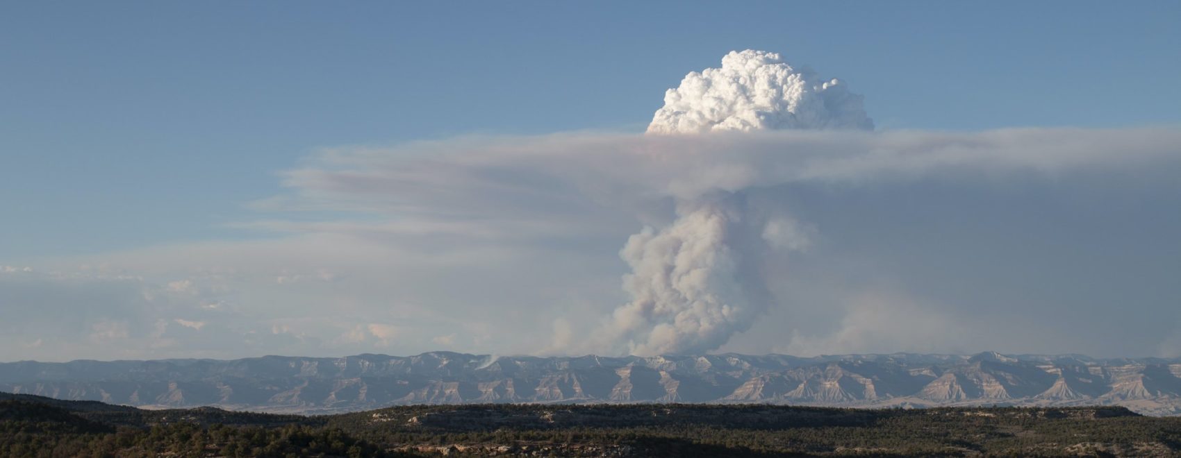
Read the full paper here.

Posted by:
Gloria Edwards
Published on:
December 10, 2020

Categories: PublicationTags: collaborative fire management, data-driven decisions, fire management, wildfire risk

Footer

Connect With Us

  • Facebook
  • Twitter
  • YouTube

Sign up for our newsletter

Got a Question?
Email us.

This regional Fire Exchange is one of 15 regional fire science exchanges sponsored by the Joint Fire Science Program (JFSP).
View resources from multiple exchanges.