

"The resistance-resilience-transition (RRT) framework offers adaptive strategies: resistance aims to preserve existing conditions, …
Uncrewed aerial system imagery and collocated validation field plots from assessment of forest spatial pattern in Black Hills South Dakota, USA restoration treatments
"This data publication includes uncrewed aerial system (UAS) imagery collected in 2023 to characterize the forest spatial pattern …
Smoothed raster of wildfire transmission to buildings in the continental United States and Hawaii (4th Edition)
"This data publication includes three geodatabase rasters that represent spatial assessments across the conterminous United …
Understanding rural adaptation to smoke from wildfires and forest management: insights for aligning approaches with community contexts
As wildfire and smoke increasingly affect rural communities, understanding how people adapt on a local level is more important …
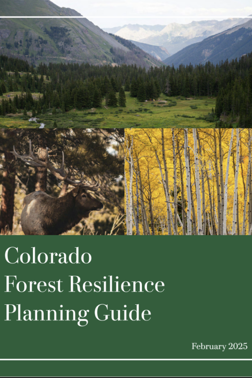
Forest Resilience Planning Guide
"This guide offers a framework for agencies, private landowners and local collaboratives to align their forest management …
Wildfire and Family Forest Owners: Concern, Advice, and Wildfire Reduction Behaviors from the United States National Woodland Owner Survey
With the recent increase in the frequency and severity of wildland fires across the country, researchers investigate family forest …
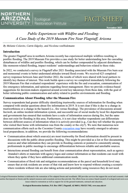
Fact Sheet: Public Experiences with Wildfire and Flooding: A Case Study of the 2019 Museum Fire Near Flagstaff, Arizona
The greater Flagstaff area in northern Arizona recently has experienced multiple wildfires resulting in postfire flooding. The …
A scenario-based assessment to inform sustainable ponderosa pine timber harvest on the Black Hills National Forest
Download Full PDF Here Abstract: Since 2000, the Black Hills National Forest (BHNF) has experienced several disturbances that …