• Skip to primary navigation
  • Skip to main content
Southern Rockies Fire Science Network

Southern Rockies Fire Science Network

JFSP Fire Science Exchange Network

  • Home
  • About
    • About Us
    • Our Partners
  • Subregions
    • Why Subregions?
    • Black Hills
    • Wyoming Sagebrush
    • Uinta Basin
    • Wasatch Plateaus/Mountains
    • Rocky Mountains
    • Canyonlands/Desert Montane
  • Events
    • Event Summaries
  • Resources
    • Pre and Post-Fire Emergency Resources
    • Research & Publications
    • Maps, Models & Apps
    • COVID-19
  • Contact
  • Show Search
Hide Search

LANDFIRE Remap in the Southwestern U.S: “Mega” Southwest U.S. Webinar

Webinar Recording

FRAMES Resource Page

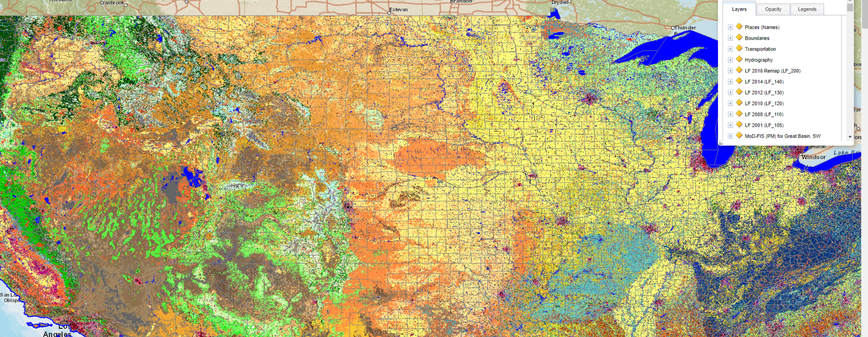
Webinar co-hosted with LANDFIRE on October 9, 2019, by the Southern Rockies, Great Basin and Southwest Fire Science Networks. Geography includes LF’s Southwest GeoArea: Nevada, Utah, and Arizona, and sections of New Mexico, Colorado, and California. Presenters Jim Smith and Kori Blankenship of The Nature Conservancy’s LF team review improvements to LF’s newest product offerings and also look at what remains the same as in previous versions. The Southwest is the second of nine LF Remap regional product releases that are scheduled through mid-2020.
Posted by:
Gloria Edwards
Published on:
December 9, 2020

Categories: Video & Audio Resources, WebinarTags: fuel breaks, fuel consumption, fuel data, fuel loading, fuel management, fuel mapping, fuel modeling, fuel treatments, fuels, fuels heterogeneity, fuels management, Fuels reduction, fuels thinning treatments, fuels treatments, fuels type, Southwest, Utah, vegetation data, vegetation density, vegetation management, vegetation mapping, vegetation treatments, vegetation type change

Footer

Connect With Us

  • Facebook
  • Twitter
  • YouTube

Sign up for our newsletter

Got a Question?
Email us.

This regional Fire Exchange is one of 15 regional fire science exchanges sponsored by the Joint Fire Science Program (JFSP).
View resources from multiple exchanges.