• Skip to primary navigation
  • Skip to main content
Southern Rockies Fire Science Network

Southern Rockies Fire Science Network

JFSP Fire Science Exchange Network

  • Home
  • About
    • About Us
    • Our Partners
  • Subregions
    • Why Subregions?
    • Black Hills / Pine Ridge
    • Canyonlands/Desert Montane
    • Northern New Mexico Plateau
    • Southern Rockies
    • Wasatch Plateaus/Uinta Mountains
    • Wyoming Sagebrush
  • Events
    • Event Summaries
  • Resources
    • Pre and Post-Fire Emergency Resources
    • Research & Publications
    • Maps, Models & Apps
    • COVID-19
  • Contact
  • Show Search
Hide Search

Heads Up in a Dead Forest: Using the Snag Hazard Map to Support Safety and Strategic Planning for Fire Responders

FULL ARTICLE HERE

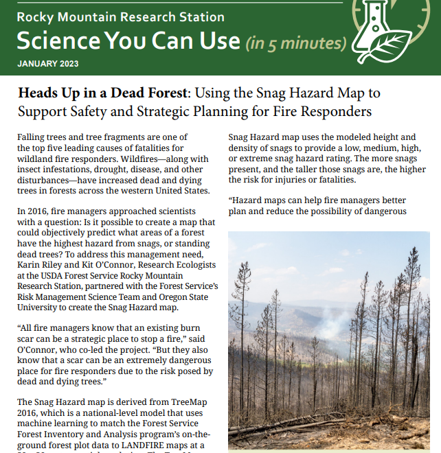
Wildland fire managers can utilize the snag hazard map to identify potentially dangerous conditions and direct fire responders away from high-risk areas. 

Posted by:
Southern Rockies Fire Science Network
Published on:
May 9, 2023

Categories: Uncategorized

Footer

Connect With Us

  • Facebook
  • Twitter
  • YouTube

Sign up for our newsletter

Got a Question?
Email us.

This regional Fire Exchange is one of 15 regional fire science exchanges sponsored by the Joint Fire Science Program (JFSP).
View resources from multiple exchanges.